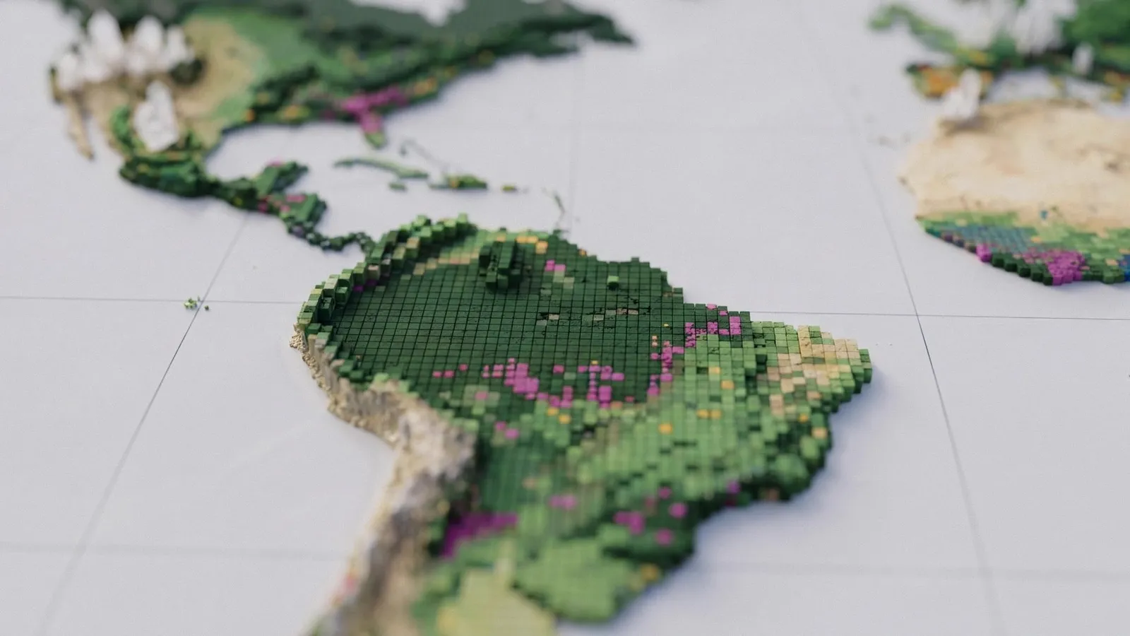
Google Deepmind creates a global map of forests with satellite data and AI
Google Deepmind and the World Resources Institute have released ForTy, a global map that classifies forests and other land into six categories, including primary forest, plantations, and tree crops. The map could help t…
以下正文同步自 The Decoder,版权归原站所有,已转换为易读排版。
Google Deepmind and the World Resources Institute have released ForTy, a global map that classifies forests and other land into six categories, including primary forest, plantations, and tree crops. The map could help track deforestation under EU rules, but it identifies only about half of planted forests and tree-crop areas, and 60% of plantations. The article Google Deepmind creates a global map of forests with satellite data and AI appeared first on The Decoder.
正文由 探How 从来源站点 RSS 同步,内容未经改写;遇到排版缺失或需要图片、视频时请以原文为准。