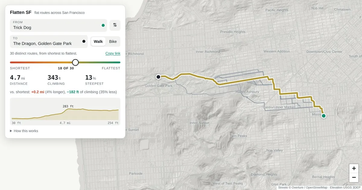
Find the flattest route between any two points in SF
Routes are computed in your browser over 160,000 street
以下正文同步自 Hacker News,版权归原站所有,已转换为易读排版。
Routes are computed in your browser over 160,000 street segments, using USGS 1 m lidar elevation and the Overture / OpenStreetMap street graph. The slider runs along the whole trade-off between distance and climbing: every route that nothing else beats on both counts, from the shortest path to the flattest one worth walking (where a foot of climb costs 200 ft of walking; beyond that the routes stop being routes). Sliding right never shortens the route and never adds climbing. Climbing is cumulative gain, not the net difference between the endpoints. Stairways are allowed on foot and excluded on a bike. Faint lines show the other routes along the way. Place search is offline: street intersections, places and addresses for San Francisco are built into this page. Source, data and the full analysis.
正文由 探How 从来源站点 RSS 同步,内容未经改写;遇到排版缺失或需要图片、视频时请以原文为准。